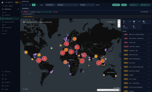
ICEYE, an operator of synthetic aperture radar (SAR) satellites for Earth observation, has launched a new product called ICEYE Ocean Vision, to provide vessel tracking data for maritime domain awareness.
As the first in the ICEYE Ocean Vision family of SAR offerings, ICEYE Ocean Vision Detect is now available offering insights into the presence, location, and size of vessels at sea leveraging the company’s ability to collect data over an area of approximately 80,000 km2 within a single image.
That data can be analysed within machine-learning-driven analytical workflows to deliver specialised SAR data-derived information layers, and can be integrated with complementary data sources, such as Automatic Identification System (AIS) or radio frequency (RF) data.
As other new products come online the broader ICEYE Ocean Vision category aims to enable end users to consistently detect, identify, characterise, and track global maritime activity.
“For many nations, maritime awareness is the most acute national security use case. However, the maritime environment presents a significant challenge, with vast expanses of ocean to search and monitor,” said John Cartwright, SVP and Head of Data Product at ICEYE.
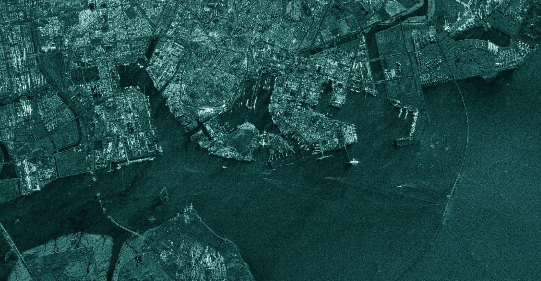
“SAR satellites detect the strong signatures of vessels that stand out against the dark background of the ocean’s surface and can render vessels visible to SAR sensors at night and during adverse weather conditions that often occur at sea.”
“ICEYE Ocean Vision takes the power of SAR one step further, helping public and private sector customers easily access the vital information that can inform their decision-making during highly critical situations at sea.”