French performance management company Opsealog and Austrian wireless provider Identec Solutions have announced a partnership to combine Identec’s GPS trackers with Opsealog’s data integration and analysis system, Marinsights, to offer integrated vessel tracking and analysis services to the offshore oil and gas sector.
The GPS trackers collect real-time data on the positioning of each installed vessel, which is processed and analysed by the Marinsights platform. The combined system was tested during a pilot project completed in collaboration with Shell in Nigeria.
Nine vessels were equipped with an i-Q350LX GPS-SAT removable transponder from Identec, configured to transmit vessel position automatically every 30 minutes through the Globalstar satellite network. This allowed vessels to be tracked in the winding rivers of the Niger delta, where Automatic Identification System (AIS) signals are often unavailable.
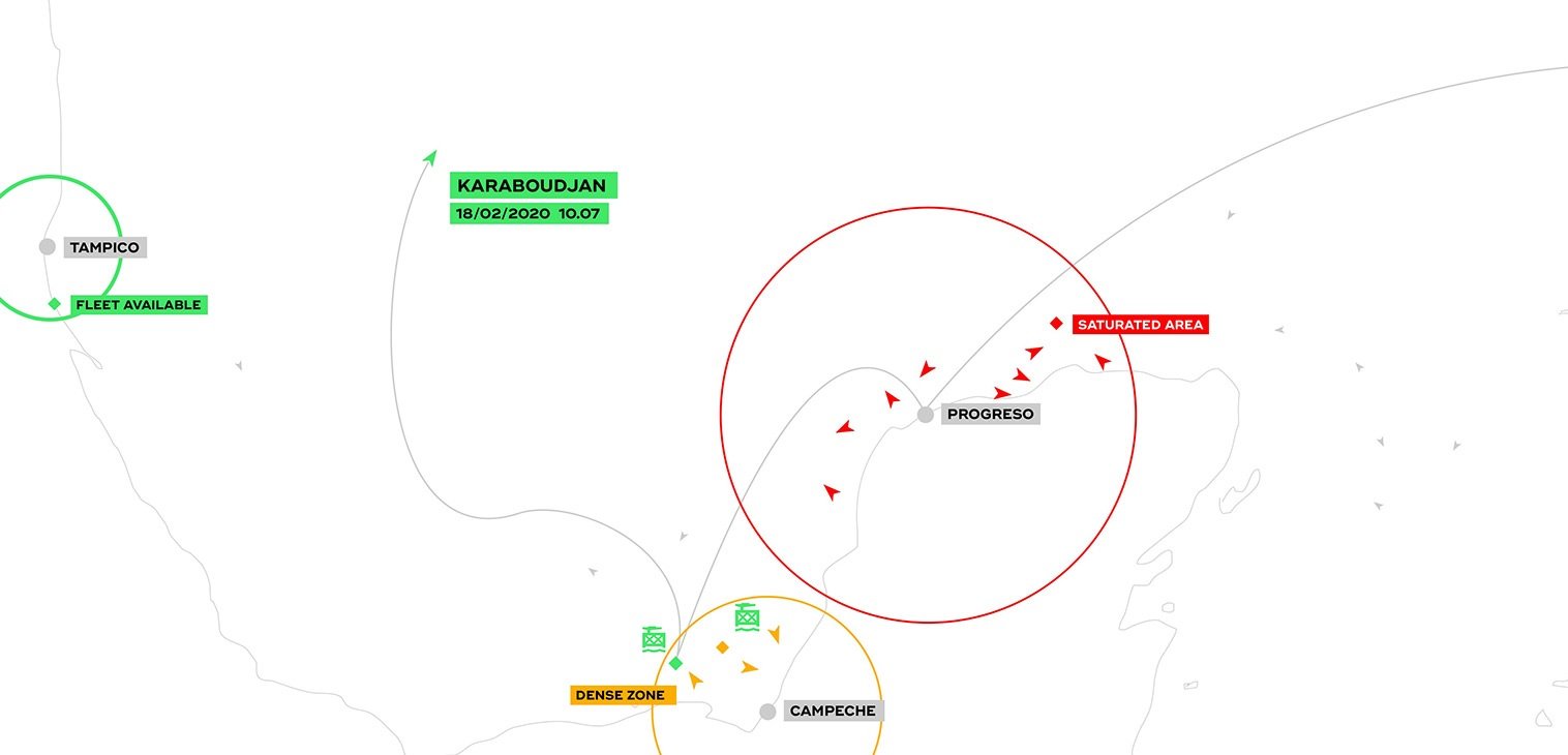
The collected data was then analysed by Opsealog’s marine consultants and presented on the Marinsights platform, which enabled Shell to visualise its fleet on a map in real time, with specific information for each vessel.
The software also generated reports on routes and position quality, as well as alerts when a vessel was stationary for a specified duration or when it crossed a geofenced area.
“We strongly believe that good visibility of onshore and offshore operations delivers safety and productivity. As the industry seeks to become safer, greener and more efficient, having a precise understanding of the activities of each vessel is vital,” said Dr Urban Siller, CEO at Identec Solutions.
“This is where our cutting-edge technology comes into play, and we are proud to partner with Opsealog on this journey that will support the offshore oil and gas sector as it moves towards sustainability.”