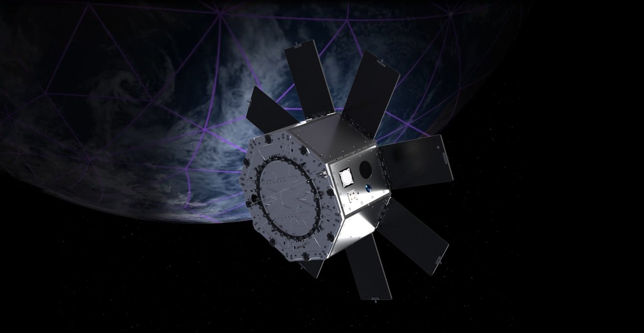
Sidus Space reports that its LizzieSat-3 satellite has begun operating an Automatic Identification System (AIS) payload to collect real-time vessel identification, position, and navigation data from ships worldwide.
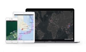
The system will allow Sidus to combine those AIS signals with data from other satellite sensors, processed using the company’s onboard AI edge computer, to create an overview of global maritime activity.
This approach is intended to deliver intelligence for commercial and government users, supporting maritime tracking requirements while also extending into environmental monitoring applications.
“Our smart vertically integrated model, spanning hardware, software, and data, positions Sidus to adapt at the pace of technology,” said Carol Craig, Founder and CEO of Sidus Space.
“By combining advanced satellite sensors, onboard Artificial Intelligence/Machine Learning edge computing, and autonomous operations, we’re preparing to deliver actionable intelligence faster and more efficiently.”
“This integration not only differentiates us from competitors but also ensures we can evolve with our customers’ needs in an increasingly dynamic space and defence environment.”