

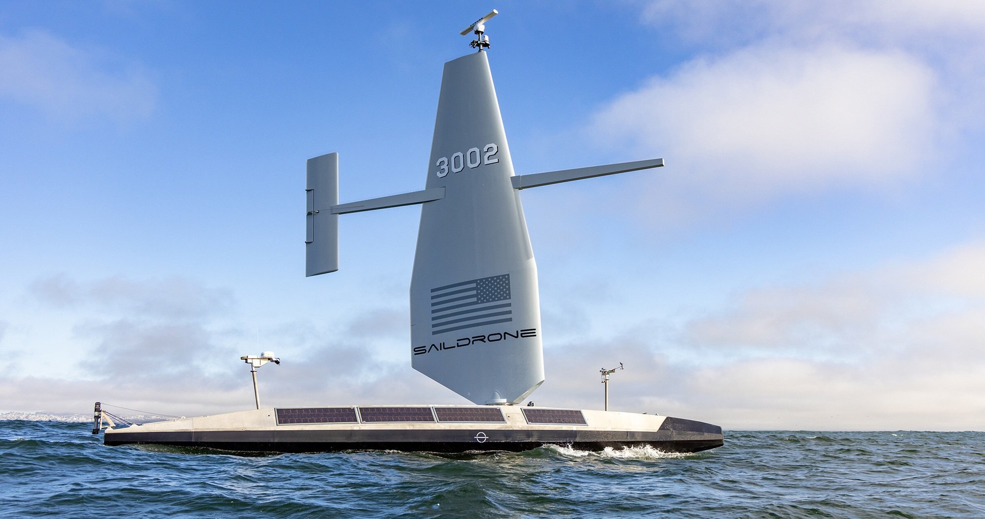
Woolpert and Saildrone have partnered to acquire and process bathymetric survey data for the National Oceanic and Atmospheric Administration (NOAA) Ocean Exploration and Office of Coast Survey using an Uncrewed Surface Vehicle (USV).
Saildrone is deploying a 20-metre Saildrone Surveyor USV designed for deep-ocean mapping, powered by a diesel engine and auxiliary wind energy to allow it to remain at sea for several months.
High-resolution data will be transmitted to Woolpert in near-real time for processing and final delivery to NOAA. The project will map approximately 13,000 square nautical miles in the northwestern Pacific Ocean, off the eastern coast of the Mariana Islands.
The initiative is part of the US National Strategy for Mapping, Exploring, and Characterizing the United States Exclusive Economic Zone (EEZ) and the Seabed 2030 project. The collected data will be used to improve the understanding of sensitive habitats, marine geohazards, and seafloor composition within the United States EEZ.
“The seafloor mapping and exploration data that the Surveyor collects around the Mariana Islands will close critical bathymetric gaps in the United States’ exclusive economic zone,” said Brian Connon, Vice President of Ocean Mapping at Saildrone.
“The Surveyor’s ability to remain at sea for months at a time, regardless of weather conditions or sea state, makes it an ideal platform to carry out this vital work.”
Woolpert, which was selected by NOAA for the contract, is integrating the USV mission portal with its automated survey production environment to monitor data quality in deep-water regions that were previously difficult to access.
The survey work began in February 2026 and is scheduled to conclude in May 2026.


