

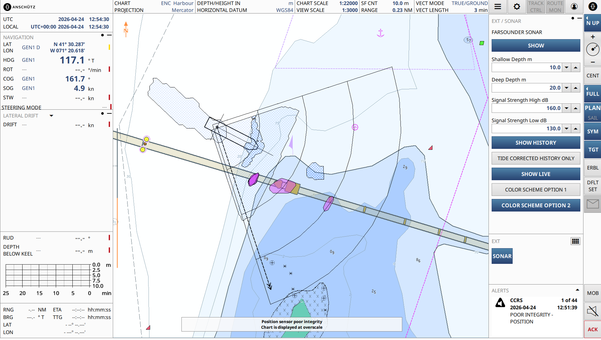
Anschütz reports that it has added a new Generic Overlay feature to improve its SYNAPSIS ECDIS NX system by enabling the direct display of external, geo-referenced data within charts.
The update will allow third-party systems to provide information as overlay layers, which can be visualised alongside standard navigational data in a consistent spatial context.
Based on a standardised, generic interface, external applications can be connected to the ECDIS itself without any modification. Once integrated, the system adapts automatically, generating menus, controls, and visual elements dynamically in line with the connected data source.
The first implementation of the feature integrates FarSounder’s 3D forward-looking sonar into SYNAPSIS ECDIS NX. Real-time detection of in-water targets and seabed structures is displayed directly on the chart, complementing existing navigational information.


