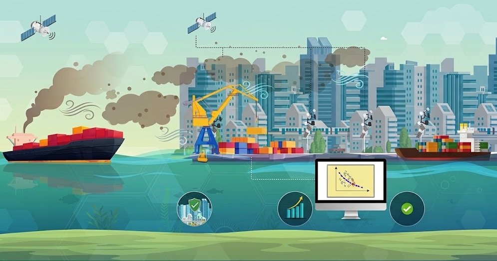
Researchers at Pusan National University have developed an artificial intelligence framework that uses real-time weather data to optimise ship routes and speed profiles while reducing peak air-pollutant exposure in coastal areas.
The system combines physics-informed deep learning with multi-objective optimisation to predict how ship exhaust will disperse under changing atmospheric conditions.
Rather than applying blanket speed restrictions, the framework adjusts a vessel’s route and speed according to local weather conditions to reduce the exposure of nearby communities to pollution.
The system uses environmental sensor data to reconstruct high-resolution airflow in near real time before predicting exhaust dispersion. A multi-objective Bayesian optimisation process then identifies routes and speed profiles that balance fuel consumption with peak pollutant exposure.
The researchers describe this approach as “temporal navigation”, in which vessels adjust their routes and speeds to take advantage of favourable meteorological conditions.
“By integrating real-time environmental conditions into navigation decisions, our system recommends optimal routes and speed profiles that reduce pollution reaching coastal communities,” said Dowon Kim, Assistant Professor at Pusan National University.
The framework was tested across multiple navigation scenarios, including simulations around Busan Port.
Compared with conventional navigation strategies, the AI-based approach achieved a 20–35% improvement in optimisation performance while reducing peak pollutant exposure by 34–78%.